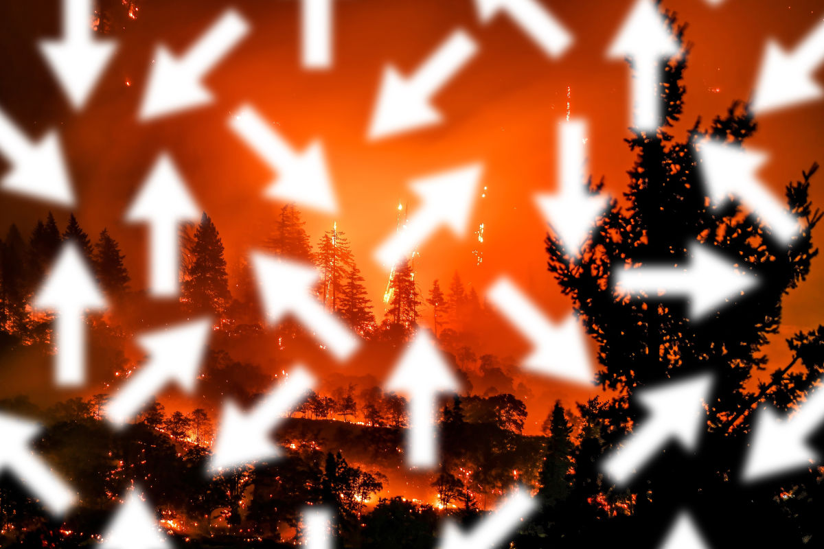
What to Know About Oregon Wildfires Right Now

You don’t need us to tell you that fire season has become an inescapable part of summer in Oregon. Wildfires are getting worse, as is the smoke they bring across the region. As we head into high summer, here’s what to know about the current fire status, plus how to stay safe and when to adjust your plans.
Where can I track Oregon wildfires?
The Northwest Interagency Coordination Center, which collects information from federal and state fire agencies, has an interactive map showing the perimeters of each fire. InciWeb offers a similar map. The state’s wildfire information hub has a fires dashboard where you can find stats on fire size and containment, check air quality, and track smoke forecasts. And for insight from those on the ground, the Oregon Department of Forestry (the state’s largest fire department) runs a wildfire news blog and publishes weekly “situation reports.”
What’s currently burning?
The closest fire to Portland right now is the Burdoin Fire in Washington, across the Columbia River from where the Rowena Fire burned 3,700 acres in June. Centered on Bingen and Lyle, the Burdoin Fire began on July 18 and has grown to nearly 11,000 acres, forcing evacuations and destroying 14 homes. A stretch of SR-14 and numerous recreation sites remain closed as of July 24, and the fire is 13 percent contained.
Central Oregon’s Cram Fire, east of Madras, broke out on July 13 and went on to burn more than 95,000 acres, becoming the country’s largest fire this year. But there has been little recent growth, and as of July 24, the fire was 77 percent contained.
Severe lightning in early July sparked dozens of small fires in Southern Oregon across Jackson and Josephine counties, many of which continue to burn.
What’s the forecast for the rest of the season?
Unfortunately, not great. The extended climate forecast is warm and dry, and on July 16, Gov. Tina Kotek declared a state of emergency. (She did the same last year, at just about the same time.) The declaration allows her to access more state resources to respond to wildfires and the ability to deploy the National Guard. Federal cuts, however, could complicate disaster response.
There’s a fire near my vacation spot. When should I change my travel plans? Can I still go hiking?
When it comes to travel plans, especially those in the backcountry, mind Red Flag Warnings on weather forecasts—these indicate an increased risk of fire danger. If you’re camping, check fire restrictions before you start collecting that kindling (and remember that fire-free nights can still be fun). And even if you’re miles away from a fire, keep air quality in mind: Both Oregon and Washington offer maps showing AQI across their respective states, or download an app like AirVisual.
What if I encounter a fire?
If you see smoke or fire, dial 911 right away (or as soon as you reenter cell service) and let the dispatcher direct your call. And, needless to say, retreat in the opposite direction.
How can I stay safe in Portland?
While Portlanders are unlikely to get hit with wildfire-related evacuation orders (though if you live in a rural or forested area, OPB has a simple guide on how to be prepared), smoke has a way of settling in our city. If it does, stay inside, shut your doors and windows, and consider an air filtration system. If you don’t want to spring on a pricy air purifier, go DIY and build your own: We’ve got a step-by-step guide to making your own Corsi–Rosenthal Box, a design with Portland roots.
Share this content:
Author: Hey PDX
Hey PDX Team


Post Comment